ECMWF is the computational centre for fire danger forecasts under the umbrella of the EU’s Copernicus Emergency Management Service (CEMS). On 8 August 2022, it started archiving its operational fire danger forecast model output into ECMWF’s Meteorological Archival and Retrieval System (MARS). This marked the end of a long project to define new GRIB2 templates and data models for storing post-processed data in MARS with traceability back to the forcing model. We benefited from what was created back in 2018 to ingest hydrological data of the European Flood Awareness System, which is also operated by ECMWF as part of CEMS, into MARS. Even though hydrological fields have been in MARS since then, we still faced several challenges due to the specific nature of the fire danger forecast dataset. At the end of this journey, fire danger forecasts can now be found in MARS. This achievement marks a milestone in ECMWF’s contribution to CEMS operations as it will ensure a service more robust in terms of archiving, more flexible in terms of product generation, and more easily accessible to all users. Ultimately, the development will bring the service closer to FAIR Data Principles (Findable, Accessible, Interoperable, and Reusable), published in Scientific Data in 2016, which set guiding principles to support the reusability of digital assets.
The development steps needed
Outputs from the Global ECMWF Fire Forecast (GEFF) model are produced daily to provide fire danger indices to the European Forest Fire Information System (EFFIS). To ease data access, it was decided a few years ago to make the model output available through MARS. In 2020, GEFF v4 was released with a GRIB I/O interface and the removal of netCDF support. The GRIB interface allows a more structured delivery of data and improves internal workflows in terms of validation of the operational forecasts and experiments.
However, it soon became evident that there were several obstacles to including fire-related variables in MARS. Firstly, fire danger forecast model variables had no GRIB code definitions. New parameters were proposed to the World Meteorological Organization (WMO) and were accepted after revision. Secondly, there was no useful template for a forecast expressed in terms of local time at each location. For our intents and purposes, we needed to define a new template where the important metadata from a collection of forcing time stamps was stored in the GRIB header of the fire danger forecast model output.
Implemented solution for local time template
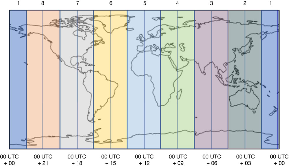
A model integration at any time in UTC will simulate the atmospheric conditions at a different local time depending on the location. However, fire danger indices should be calculated at local noon, when fire hazard is thought to be at its maximum. To achieve this, a temporal and spatial collage of 24‑hour model simulations is performed to produce a snapshot at 12:00 local time. Thus, for example temperature and relative humidity fields are cut into 3‑hourly time strips using the closest 3‑hour forecast output and then joined together, so that the final field is representative of the conditions around the local noon within the 3-hour resolution available. This is highlighted in the figure.
The implementation of the new local time GRIB2 templates allows the storage of information on the forcing data through the key ‘localTimeMethod’. Setting the key ‘localTimeMethod’ enables the use of additional metadata about the forcing data used in creating the field at local time. At the moment, two options are implemented: ‘localTimeMethod = 0’ generates an output where the nearest forecast or analysis in time is selected to create the local time, and ‘localTimeMethod = 1’ generates an output by interpolating between the two forecast steps that cross the local time. The template exists in eight versions to account for any combination of deterministic and ensemble forecasts (two types), instantaneous and accumulated fields (two types), as well as native fields vs post-processed fields (two types).
Benefits and future work
The new templates for local time data were made purposely generic to account for different types of output and applications using numerical weather prediction output. The template has so far been implemented for GEFF operational forecasts. Reanalysis, the extended-range hindcast, and seasonal fire danger forecasts will soon be added. Other downstream applications, such as the Universal Thermal Comfort Index (UTCI) and drought indicators, such as the standardised precipitation index, will follow suit. The fire danger forecast data is currently archived under the new class ‘Global wildfire’, abbreviated ‘gw’ in MARS. One of the immediate benefits of this implementation will be access to non-restricted data by the public through the Copernicus Climate Data Store, which is part of the Copernicus Climate Change Service (C3S) run by ECMWF.