
ECMWF is helping to create a system that produces real-time flood forecasts for the entire globe. The work builds on the Centre’s experience with flood forecasting in Europe.
ECMWF is developing the Global Flood Awareness System (GloFAS) in co-operation with the European Commission’s Joint Research Centre and the University of Reading.
GloFAS combines the Centre’s medium-range weather forecasts with a hydrological model to provide global forecasts of flood events.
Probabilistic forecasts
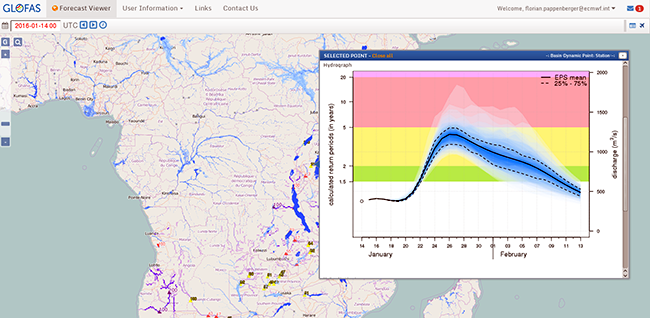
GloFAS uses ensemble forecasts of precipitation and temperature to predict discharge levels and the probabilities of river thresholds being exceeded.
Ensemble forecasts account for the uncertainties inherent in the prediction of weather parameters by producing a set of possible outcomes.
“Early indications of possible flood events can be given up to 30 days ahead. This kind of information is currently not available on a global scale,” says Florian Pappenberger, who heads the GloFAS team at ECMWF.

GloFAS charts can give indications of flood events up to 30 days ahead.
The system is undergoing rapid development. A new version of GloFAS was released in December 2015, incorporating hydrological model updates as well as user interface improvements.
In addition, ECMWF is preparing to host a hackathon event on 16 and 17 January 2016. Participants will work on innovative ideas to make the system easier and more flexible to use.
Floods in Uganda
GloFAS already runs daily in pre-operational mode. Its users include international organisations such as the Red Cross, the World Food Programme and national meteorological services in Brazil and Peru.
The Uganda Red Cross, for instance, is involved in a pilot project using GloFAS output to trigger action before a weather-related disaster occurs.
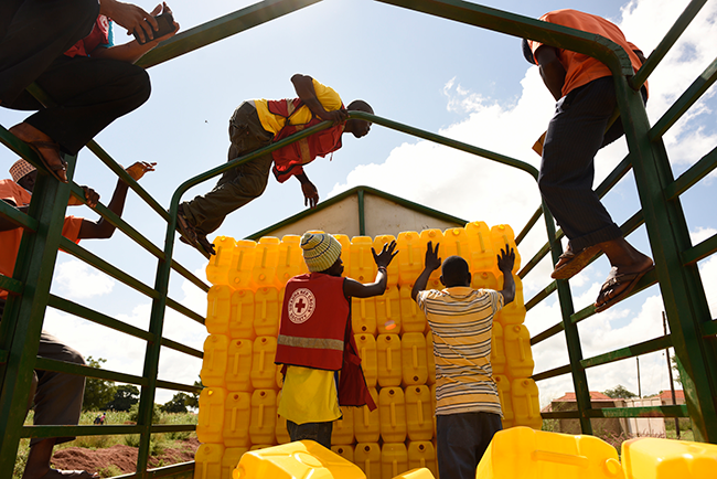
It did so recently on the basis of predicted flood risk. Water purification tablets, jerry cans and spades were distributed to enable communities to have access to safe drinking water and dig trenches to drain water from arable land more quickly.
The region concerned did see water levels rise as forecast, and the Uganda Red Cross was able to deliver aid before this happened.

The Red Cross distributed jerry cans in Uganda in November 2015 in advance of predicted floods. (Photo: Red Cross/Red Crescent Climate Centre)
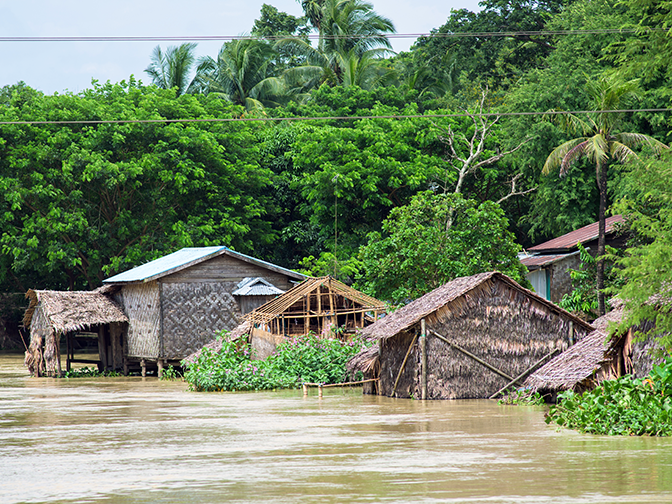
GloFAS has also demonstrated its potential in data-scarce areas where few local flood models are operational, including during floods in Myanmar (top photo), Somalia and Iraq in 2015. It provided early information on these events to the Emergency Response Coordination Centre (ERCC) of the European Commission.
The system is expected to be fully operational by 2017 as part of the EU’s Copernicus Emergency Management Service (EMS).
Prediction of weather-related hazards
A European system dedicated to monitoring and forecasting floods across Europe has been operational since 2012.
This, too, has relied on ECMWF ensemble forecasts from the start. Formerly known as the European Flood Awareness System (EFAS), it is now part of the Copernicus EMS.
ECMWF remains heavily involved in this system, with responsibility for running the forecasts, post-processing, and hosting the web interface.
ECMWF’s work on flood prediction is part of the Centre’s wider move towards an Earth system approach (including the atmosphere, land, ocean and sea ice) to modelling and predicting the weather and related aspects of the natural environment.
In addition to its contribution to the Copernicus EMS, ECMWF is implementing the Copernicus Climate Change and Atmosphere Monitoring Services.
“In many ways, these are natural extensions of the Centre’s core work on global numerical weather prediction,” says Florian. “They help our Member States to provide vital environmental information services.”
Top photo: Monsoon flooding in Myanmar in 2015 (epixx/iStock/Thinkstock)
